
Groote Keeten topographic map
Interactive map
Click on the map to display elevation.
About this map
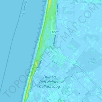
Name: Groote Keeten topographic map, elevation, terrain.
Location: Groote Keeten, Noord-Holland, Nederland, 1759, Nederland (52.84268 4.69153 52.88268 4.73153)
Average elevation: 0 m
Minimum elevation: -4 m
Maximum elevation: 16 m