
Puerto Marabio topographic map
Interactive map
Click on the map to display elevation.
About this map
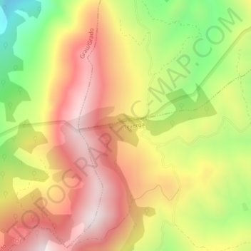
Name: Puerto Marabio topographic map, elevation, terrain.
Location: Puerto Marabio, Teverga, Asturies, Espagne (43.20737 -6.14763 43.22737 -6.12763)
Average elevation: 1,057 m
Minimum elevation: 665 m
Maximum elevation: 1,369 m
Other topographic maps
Click on a map to view its topography, its elevation and its terrain.