
Thank you for supporting this site ❤️
Make a donation
Make a donation
Slingeplas topographic map
Click on the map to display elevation.
Thank you for supporting this site ❤️
Make a donation
Make a donation
About this map
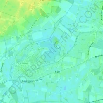
Name: Slingeplas topographic map, elevation, terrain.
Location: Slingeplas, Bredevoort, Aalten, Gelderland, Netherlands (51.94403 6.62476 51.94969 6.63311)
Average elevation: 29 m
Minimum elevation: 23 m
Maximum elevation: 41 m
Thank you for supporting this site ❤️
Make a donation
Make a donation