
Lakeline topographic map
Interactive map
Click on the map to display elevation.
About this map
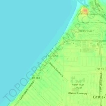
Name: Lakeline topographic map, elevation, terrain.
Location: Lakeline, Lake County, Ohio, USA (41.65514 -81.45894 41.66532 -81.45037)
Average elevation: 181 m
Minimum elevation: 170 m
Maximum elevation: 204 m