
Enge topographic map
Interactive map
Click on the map to display elevation.
About this map
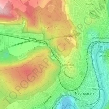
Name: Enge topographic map, elevation, terrain.
Location: Enge, Neuhausen am Rheinfall, Schaffhausen, 8212, Schweiz (47.68812 8.60597 47.69335 8.61128)
Average elevation: 475 m
Minimum elevation: 354 m
Maximum elevation: 621 m