
Ghoochan City topographic map
Interactive map
Click on the map to display elevation.
About this map
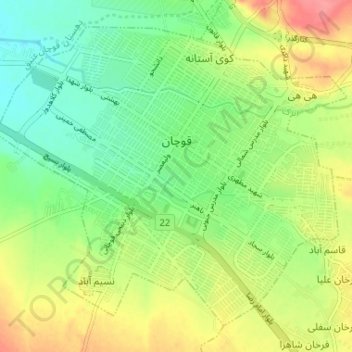
Name: Ghoochan City topographic map, elevation, terrain.
Average elevation: 1,324 m
Minimum elevation: 1,292 m
Maximum elevation: 1,367 m
Quchan is in the north-east of Iran in Razavi Khorasan Province at an elevation of 1,149 meters above sea level north of the Shah Jahan Mountains. It is located south of the border with Turkmenistan. Quchan is connected by road to Mashhad, 125 km southeast and Turkmenistan, 100 km north.