
Forni topographic map
Interactive map
Click on the map to display elevation.
About this map
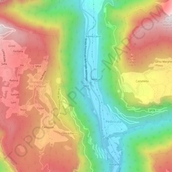
Name: Forni topographic map, elevation, terrain.
Location: Forni, Pedescala, Valdastico, Vicenza, Veneto, Italia (45.83674 11.34140 45.87674 11.38140)
Average elevation: 773 m
Minimum elevation: 298 m
Maximum elevation: 1,272 m
Other topographic maps
Click on a map to view its topography, its elevation and its terrain.