
Purushottapatnam topographic map
Interactive map
Click on the map to display elevation.
About this map
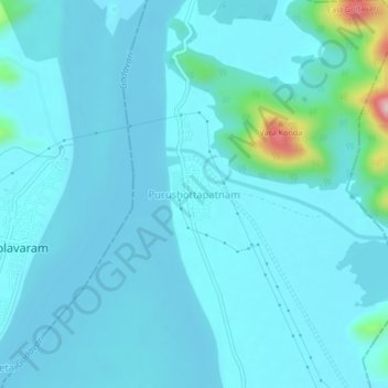
Name: Purushottapatnam topographic map, elevation, terrain.
Average elevation: 39 m
Minimum elevation: 12 m
Maximum elevation: 286 m
Other topographic maps
Click on a map to view its topography, its elevation and its terrain.
Rajampeta
India > Andhra Pradesh > Seethanagaram
Rajampeta, Seethanagaram, East Godavari, Andhra Pradesh, India
Average elevation: 20 m