
Elte topographic map
Interactive map
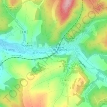
Click on the map to display elevation.
About this map
Name: Elte topographic map, elevation, terrain.
Location: Elte, Gerstungen, Wartburgkreis, Thüringen, 99819, Deutschland (50.93625 10.25884 50.93666 10.25943)
Average elevation: 328 m
Minimum elevation: 263 m
Maximum elevation: 423 m