
Fraijanes topographic map
Interactive map
Click on the map to display elevation.
About this map
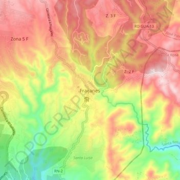
Name: Fraijanes topographic map, elevation, terrain.
Location: Fraijanes, Guatemala (14.42210 -90.47882 14.50210 -90.39882)
Average elevation: 1,617 m
Minimum elevation: 1,290 m
Maximum elevation: 1,896 m