
Hürup topographic map
Interactive map
Click on the map to display elevation.
About this map
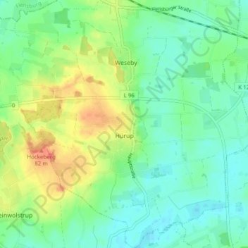
Name: Hürup topographic map, elevation, terrain.
Location: Hürup, Schleswig-Flensburg, Sleeswijk-Holstein, Duitsland (54.72907 9.49253 54.77302 9.56689)
Average elevation: 50 m
Minimum elevation: 33 m
Maximum elevation: 81 m