
Seel topographic map
Interactive map
Click on the map to display elevation.
About this map
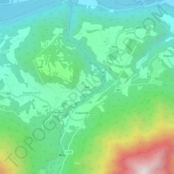
Name: Seel topographic map, elevation, terrain.
Location: Seel, Klagenfurt-Land, Carinthia, 9173, Austria (46.52061 14.44371 46.56061 14.48371)
Average elevation: 788 m
Minimum elevation: 392 m
Maximum elevation: 1,828 m