
Thank you for supporting this site ❤️
Make a donation
Make a donation
Swanwick CP topographic map
Click on the map to display elevation.
Thank you for supporting this site ❤️
Make a donation
Make a donation
About this map
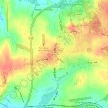
Name: Swanwick CP topographic map, elevation, terrain.
Location: Swanwick CP, Amber Valley, Derbyshire, England, United Kingdom (53.06255 -1.40870 53.08985 -1.37517)
Average elevation: 125 m
Minimum elevation: 96 m
Maximum elevation: 151 m
Thank you for supporting this site ❤️
Make a donation
Make a donation