
Thank you for supporting this site ❤️
Make a donation
Make a donation
Veerapandi topographic map
Click on the map to display elevation.
Thank you for supporting this site ❤️
Make a donation
Make a donation
About this map
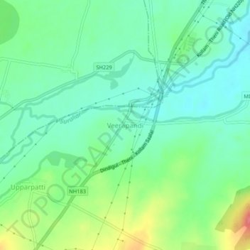
Name: Veerapandi topographic map, elevation, terrain.
Location: Veerapandi, Theni, Theni District, Tamil Nadu, 625534, India (9.94391 77.41510 9.98391 77.45510)
Average elevation: 319 m
Minimum elevation: 296 m
Maximum elevation: 367 m
Thank you for supporting this site ❤️
Make a donation
Make a donation