
Southampton topographic map
Interactive map
Click on the map to display elevation.
About this map
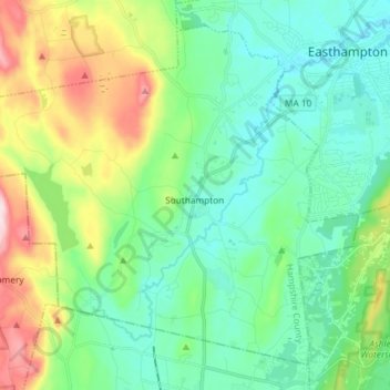
Name: Southampton topographic map, elevation, terrain.
Location: Southampton, Hampshire County, Massachusetts, United States (42.18339 -72.81440 42.27809 -72.66777)
Average elevation: 131 m
Minimum elevation: 34 m
Maximum elevation: 393 m
Other topographic maps
Click on a map to view its topography, its elevation and its terrain.