
Keri topographic map
Click on the map to display elevation.
About this map
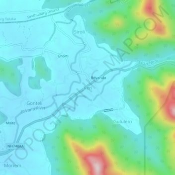
Name: Keri topographic map, elevation, terrain.
Location: Keri, Satari, North Goa, Goa, India (15.58941 74.04501 15.62941 74.08501)
Average elevation: 99 m
Minimum elevation: 17 m
Maximum elevation: 463 m
Other topographic maps
Click on a map to view its topography, its elevation and its terrain.