
Chiquitoy topographic map
Interactive map
Click on the map to display elevation.
About this map
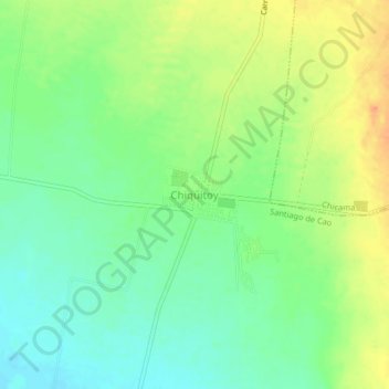
Name: Chiquitoy topographic map, elevation, terrain.
Location: Chiquitoy, Ascope, La Libertad, Perú (-7.94729 -79.22805 -7.90729 -79.18805)
Average elevation: 43 m
Minimum elevation: 25 m
Maximum elevation: 67 m