
Khlong Luang topographic map
Interactive map
Click on the map to display elevation.
About this map
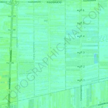
Name: Khlong Luang topographic map, elevation, terrain.
Location: Khlong Luang, Pathum Thani, Thaïlande (13.99553 100.59050 14.06645 100.65328)
Average elevation: 4 m
Minimum elevation: -1 m
Maximum elevation: 9 m