
Ashland topographic map
Interactive map
Click on the map to display elevation.
About this map
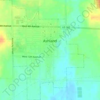
Name: Ashland topographic map, elevation, terrain.
Location: Ashland, Clark County, Kansas, 67831, United States (37.17208 -99.78375 37.20003 -99.75378)
Average elevation: 603 m
Minimum elevation: 590 m
Maximum elevation: 625 m