
Thank you for supporting this site ❤️
Make a donation
Make a donation
Kadu topographic map
Click on the map to display elevation.
Thank you for supporting this site ❤️
Make a donation
Make a donation
About this map
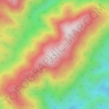
Name: Kadu topographic map, elevation, terrain.
Location: Kadu, Basar ADC, Lepa Rada District, Arunachal Pradesh, India (27.94056 94.91857 27.94066 94.91867)
Average elevation: 662 m
Minimum elevation: 345 m
Maximum elevation: 948 m
Thank you for supporting this site ❤️
Make a donation
Make a donation