
Tawaghat topographic map
Interactive map
Click on the map to display elevation.
About this map
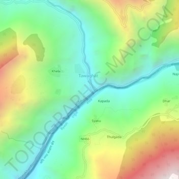
Name: Tawaghat topographic map, elevation, terrain.
Location: Tawaghat, Pithoragarh, Uttarakhand, India (29.93834 80.57983 29.97834 80.61983)
Average elevation: 1,658 m
Minimum elevation: 1,061 m
Maximum elevation: 2,770 m