
Chanda Nagar topographic map
Interactive map
Click on the map to display elevation.
About this map
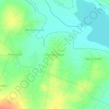
Name: Chanda Nagar topographic map, elevation, terrain.
Location: Chanda Nagar, Rangareddy, Telangana, India (17.35379 78.24125 17.39379 78.28125)
Average elevation: 555 m
Minimum elevation: 538 m
Maximum elevation: 585 m