
Ayent topographic map
Interactive map
Click on the map to display elevation.
About this map
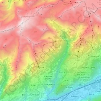
Name: Ayent topographic map, elevation, terrain.
Location: Ayent, Hérens, Vallés, 1966, Suiza (46.25221 7.35774 46.38617 7.46214)
Average elevation: 1,781 m
Minimum elevation: 495 m
Maximum elevation: 3,225 m