
Kaag topographic map
Interactive map
Click on the map to display elevation.
About this map
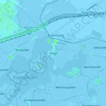
Name: Kaag topographic map, elevation, terrain.
Location: Kaag, Zuid-Holland, Nederland, 2159, Nederland (52.19326 4.53833 52.23326 4.57833)
Average elevation: -2 m
Minimum elevation: -6 m
Maximum elevation: 7 m