
Kermartin topographic map
Interactive map
Click on the map to display elevation.
About this map
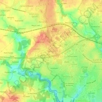
Name: Kermartin topographic map, elevation, terrain.
Average elevation: 28 m
Minimum elevation: 0 m
Maximum elevation: 50 m
Other topographic maps
Click on a map to view its topography, its elevation and its terrain.
Ty losquet
France > Bretagne > Morbihan > Ploeren
Ty losquet, Ploeren, Vannes, Morbihan, Bretagne, France métropolitaine, 56880, France
Average elevation: 42 m