
Thank you for supporting this site ❤️
Make a donation
Make a donation
Saralai topographic map
Click on the map to display elevation.
Thank you for supporting this site ❤️
Make a donation
Make a donation
About this map
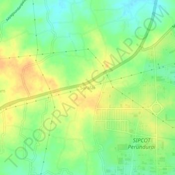
Name: Saralai topographic map, elevation, terrain.
Location: Saralai, Perundurai, Erode District, Tamil Nadu, 638057, India (11.22947 77.51787 11.26947 77.55787)
Average elevation: 301 m
Minimum elevation: 284 m
Maximum elevation: 316 m
Thank you for supporting this site ❤️
Make a donation
Make a donation
Other topographic maps
Click on a map to view its topography, its elevation and its terrain.