
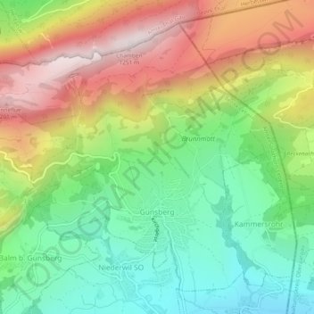
Günsberg topographic map
Interactive map
Click on the map to display elevation.
About this map
Name: Günsberg topographic map, elevation, terrain.
Average elevation: 785 m
Minimum elevation: 471 m
Maximum elevation: 1,216 m
Auf dem Hauptkamm der Jurakette verläuft der Jurahöhenweg.