
Nüzhetiye topographic map
Interactive map
Click on the map to display elevation.
About this map
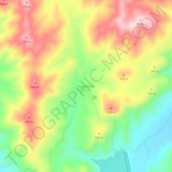
Name: Nüzhetiye topographic map, elevation, terrain.
Location: Nüzhetiye, Kestel, Bursa, Marmararegion, Türkei (40.25461 29.32531 40.29461 29.36531)
Average elevation: 570 m
Minimum elevation: 407 m
Maximum elevation: 744 m