
Curca topographic map
Interactive map
Click on the map to display elevation.
About this map
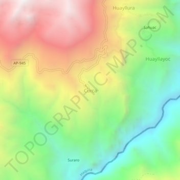
Name: Curca topographic map, elevation, terrain.
Location: Curca, Province of Cotabambas, Apurímac, Peru (-14.16257 -72.10505 -14.12257 -72.06505)
Average elevation: 3,535 m
Minimum elevation: 2,834 m
Maximum elevation: 4,419 m