
Zuidermeer topographic map
Interactive map
Click on the map to display elevation.
About this map
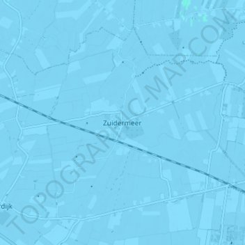
Name: Zuidermeer topographic map, elevation, terrain.
Average elevation: -3 m
Minimum elevation: -6 m
Maximum elevation: 1 m
Spoorlijn Heerhugowaard - Hoorn ter hoogte van Zuidermeer