
The Woodlands topographic map
Interactive map
Click on the map to display elevation.
About this map
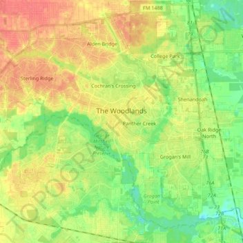
Name: The Woodlands topographic map, elevation, terrain.
Average elevation: 47 m
Minimum elevation: 23 m
Maximum elevation: 72 m
Other topographic maps
Click on a map to view its topography, its elevation and its terrain.
Montgomery County
Estados Unidos da América > Texas > Montgomery County
Montgomery County, Texas, Estados Unidos da América
Average elevation: 69 m