
Tōon topographic map
Interactive map
Click on the map to display elevation.
About this map
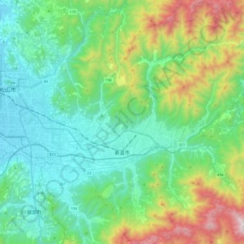
Name: Tōon topographic map, elevation, terrain.
Location: Tōon, Präfektur Ehime, 791-0211, Japan (33.71951 132.82240 33.90835 133.02412)
Average elevation: 378 m
Minimum elevation: 12 m
Maximum elevation: 1,416 m