
Thank you for supporting this site ❤️
Make a donation
Make a donation
Kelley topographic map
Click on the map to display elevation.
Thank you for supporting this site ❤️
Make a donation
Make a donation
About this map
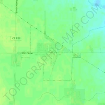
Name: Kelley topographic map, elevation, terrain.
Location: Kelley, Story County, Iowa, United States (41.94341 -93.67808 41.95766 -93.65561)
Average elevation: 314 m
Minimum elevation: 305 m
Maximum elevation: 319 m
Thank you for supporting this site ❤️
Make a donation
Make a donation
Other topographic maps
Click on a map to view its topography, its elevation and its terrain.
Evergreen Lane (Briggs Terrace) Historical Site
United States > Iowa > Story County > Nevada
Average elevation: 304 m
Thank you for supporting this site ❤️
Make a donation
Make a donation