
Kottala topographic map
Click on the map to display elevation.
About this map
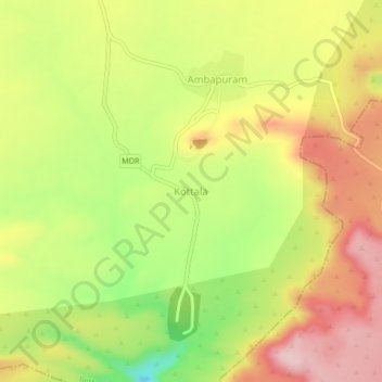
Name: Kottala topographic map, elevation, terrain.
Location: Kottala, Bethamcherla, Nandyal, Andhra Pradesh, 518598, India (15.35397 78.07097 15.39397 78.11097)
Average elevation: 425 m
Minimum elevation: 297 m
Maximum elevation: 534 m