
Aghai topographic map
Interactive map
Click on the map to display elevation.
About this map
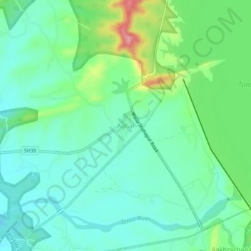
Name: Aghai topographic map, elevation, terrain.
Location: Aghai, Shahapur Taluka, Thane, Maharashtra, India (19.54510 73.21842 19.58510 73.25842)
Average elevation: 84 m
Minimum elevation: 49 m
Maximum elevation: 178 m