
Goldapp Colonia topographic map
Interactive map
Click on the map to display elevation.
About this map
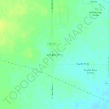
Name: Goldapp Colonia topographic map, elevation, terrain.
Location: Goldapp Colonia, Jim Wells County, Texas, United States (27.69642 -98.16528 27.73642 -98.12528)
Average elevation: 77 m
Minimum elevation: 69 m
Maximum elevation: 88 m
Other topographic maps
Click on a map to view its topography, its elevation and its terrain.
Alice
United States > Texas > Jim Wells County
Alice, Jim Wells County, Texas, United States
Average elevation: 64 m