
Quartier Saint-Marc / Croix de Pierre / Saint-Nicaise topographic map
Interactive map
Click on the map to display elevation.
About this map
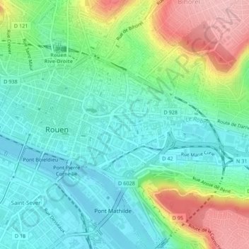
Name: Quartier Saint-Marc / Croix de Pierre / Saint-Nicaise topographic map, elevation, terrain.
Average elevation: 48 m
Minimum elevation: -2 m
Maximum elevation: 155 m
Other topographic maps
Click on a map to view its topography, its elevation and its terrain.