
Tolasani topographic map
Click on the map to display elevation.
About this map
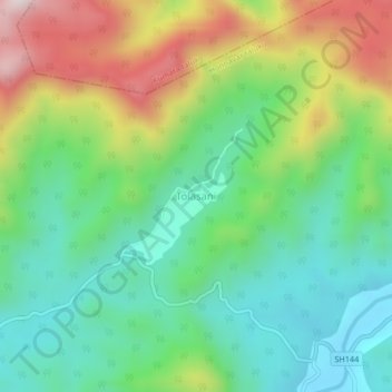
Name: Tolasani topographic map, elevation, terrain.
Location: Tolasani, Honnavar taluku, Uttara Kannada, Karnataka, India (14.33012 74.54729 14.37012 74.58729)
Average elevation: 235 m
Minimum elevation: 17 m
Maximum elevation: 644 m
Other topographic maps
Click on a map to view its topography, its elevation and its terrain.