
Onhaye topographic map
Interactive map
Click on the map to display elevation.
About this map
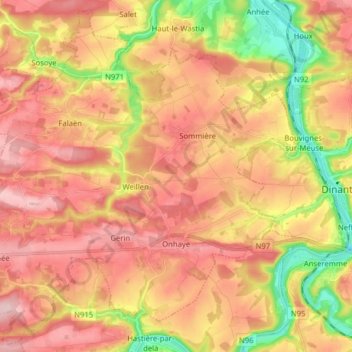
Name: Onhaye topographic map, elevation, terrain.
Location: Onhaye, Namur, Wallonien, Belgien (50.21470 4.73603 50.31112 4.89375)
Average elevation: 200 m
Minimum elevation: 76 m
Maximum elevation: 289 m