
pont topographic map
Interactive map
Click on the map to display elevation.
About this map
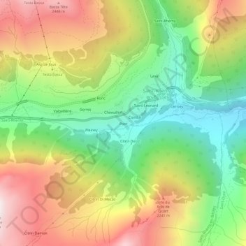
Name: pont topographic map, elevation, terrain.
Location: pont, Saint-Rhémy-en-Bosses, Vallée d'Aoste, Italie (45.79892 7.15415 45.83892 7.19415)
Average elevation: 1,885 m
Minimum elevation: 1,337 m
Maximum elevation: 2,563 m