
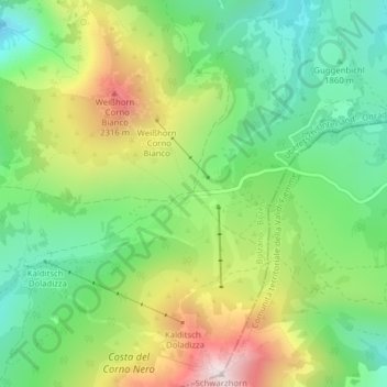
Jochgrimm topographic map
Interactive map
Click on the map to display elevation.
About this map
Name: Jochgrimm topographic map, elevation, terrain.
Average elevation: 1,994 m
Minimum elevation: 1,727 m
Maximum elevation: 2,429 m
Die Passhöhe befindet sich auf dem Gebiet der Gemeinde Aldein in Südtirol. Nördlich liegt das Weißhorn (2317 m s.l.m.), südlich das Schwarzhorn (2439 m s.l.m.).