
Lombardos topographic map
Interactive map
Click on the map to display elevation.
About this map
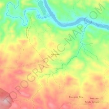
Name: Lombardos topographic map, elevation, terrain.
Location: Lombardos, Mértola, Beja, Baixo Alentejo, Alentejo, Portugal (37.56749 -7.66305 37.60749 -7.62305)
Average elevation: 107 m
Minimum elevation: -4 m
Maximum elevation: 210 m