
Maggia topographic map
Interactive map
Click on the map to display elevation.
About this map
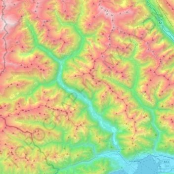
Name: Maggia topographic map, elevation, terrain.
Location: Maggia, Bezirk Mendrisio, Tessin, 6676, Schweiz (46.14658 8.60626 46.45341 8.80501)
Average elevation: 1,479 m
Minimum elevation: 188 m
Maximum elevation: 3,234 m