
Carson Lake topographic map
Interactive map
Click on the map to display elevation.
About this map
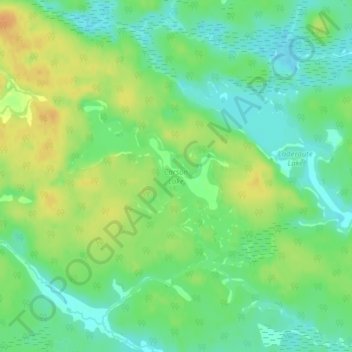
Name: Carson Lake topographic map, elevation, terrain.
Average elevation: 250 m
Minimum elevation: 235 m
Maximum elevation: 268 m
Other topographic maps
Click on a map to view its topography, its elevation and its terrain.
Lauzon Lake
Canada > Ontario > Algoma District > The North Shore Township > Algoma Mills
Lauzon Lake, Algoma Mills, The North Shore Township, Algoma District, Northeastern Ontario, Ontario, Canada
Average elevation: 210 m
The Three Sisters
Canada > Ontario > Algoma District > The North Shore Township
The Three Sisters, The North Shore Township, Algoma District, Northeastern Ontario, Ontario, Canada
Average elevation: 241 m