
Perry County topographic map
Interactive map
Click on the map to display elevation.
About this map
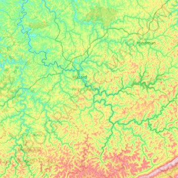
Name: Perry County topographic map, elevation, terrain.
Location: Perry County, Kentucky, Vereinigte Staaten von Amerika (36.99185 -83.55394 37.44354 -83.00014)
Average elevation: 425 m
Minimum elevation: 232 m
Maximum elevation: 864 m