
Thank you for supporting this site ❤️
Make a donation
Make a donation
Mohammadpur topographic map
Click on the map to display elevation.
Thank you for supporting this site ❤️
Make a donation
Make a donation
About this map
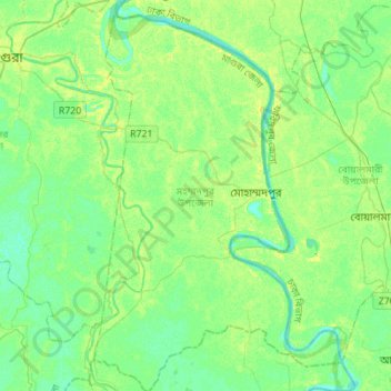
Name: Mohammadpur topographic map, elevation, terrain.
Location: Mohammadpur, Magura District, Khulna Division, Bangladesh (23.27151 89.48278 23.52520 89.65840)
Average elevation: 7 m
Minimum elevation: 0 m
Maximum elevation: 18 m
Thank you for supporting this site ❤️
Make a donation
Make a donation