
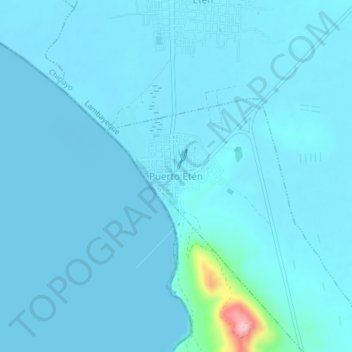
Puerto Etén topographic map
Interactive map
Click on the map to display elevation.
About this map
Name: Puerto Etén topographic map, elevation, terrain.
Location: Puerto Etén, Etén Puerto, Chiclayo, Lambayeque, Perú (-6.94753 -79.88590 -6.90753 -79.84590)
Average elevation: 11 m
Minimum elevation: -4 m
Maximum elevation: 190 m