
Orada topographic map
Interactive map
Click on the map to display elevation.
About this map
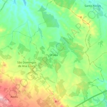
Name: Orada topographic map, elevation, terrain.
Location: Orada, Borba, Évora, Portugal (38.82453 -7.49763 38.92683 -7.40459)
Average elevation: 343 m
Minimum elevation: 264 m
Maximum elevation: 509 m