
Lac Marchand topographic map
Interactive map
Click on the map to display elevation.
About this map
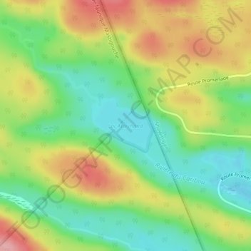
Name: Lac Marchand topographic map, elevation, terrain.
Average elevation: 367 m
Minimum elevation: 308 m
Maximum elevation: 444 m
Other topographic maps
Click on a map to view its topography, its elevation and its terrain.
Rivière Shawinigan
Canada > Québec > Maskinongé (MRC) > Saint-Mathieu-du-Parc
Rivière Shawinigan, Saint-Mathieu-du-Parc, Maskinongé (MRC), Mauricie, Québec, Canada
Average elevation: 236 m