
Thank you for supporting this site ❤️
Make a donation
Make a donation
Rutsiro topographic map
Click on the map to display elevation.
Thank you for supporting this site ❤️
Make a donation
Make a donation
About this map
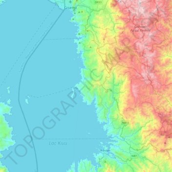
Name: Rutsiro topographic map, elevation, terrain.
Location: Rutsiro, Western Province, Rwanda (-2.06152 29.12667 -1.72929 29.56834)
Average elevation: 1,790 m
Minimum elevation: 1,454 m
Maximum elevation: 2,974 m
Thank you for supporting this site ❤️
Make a donation
Make a donation